Jan 23rd 2026
Mastering the Navigation Log Aviation's Essential Roadmap
Unlock the secrets of the navigation log aviation with our expert guide. Learn to plan, execute, and document flights for manned aircraft and drones.
Unlock the secrets of the navigation log aviation with our expert guide. Learn to plan, execute, and document flights for manned aircraft and drones.
Discover how an online flight logbook transforms your flight records, simplifies compliance, and provides powerful insights to elevate your aviation career.
Is the free Adobe Photoshop inside ChatGPT safe? We break down the new features, how to use them, and the major privacy trade-off hiding in the fine print.
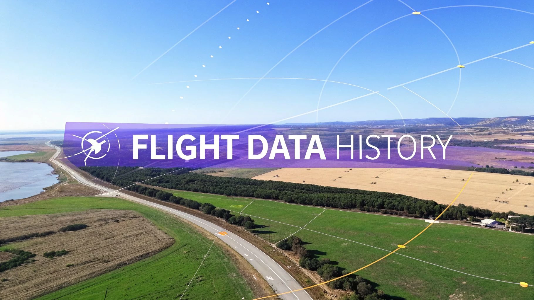
Discover what flight data history is and why it matters. This guide covers how to analyze flight logs for safety, compliance, and operational efficiency.
What is a flight recorder? This guide explains how black boxes in aviation and drone flight logs improve safety, aid investigations, and ensure compliance.
how to read metar reports - Learn to decode wind, visibility, clouds, and trends with a practical guide for pilots.
Decode the Class D airspace map with confidence. This guide explains symbols, altitudes, and how to plan safe drone flights using sectional charts.
A pilot's guide to warning areas airspace. Learn FAA rules, flight planning, and risk mitigation for drone and manned aircraft to navigate with confidence.
flight plan drone - Create safe, compliant UAV missions with step-by-step pre-checks, mission mapping, and risk assessment to boost efficiency.
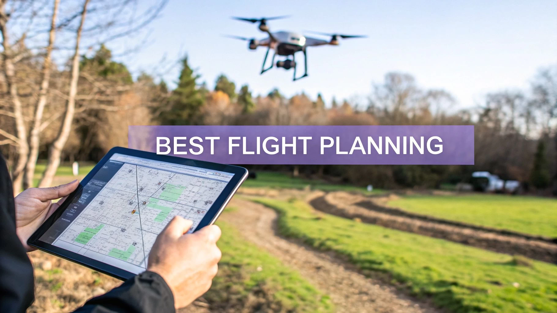
Discover the best flight planning secrets for safe, efficient drone missions. This guide covers airspace, weather, route design, and post-flight analysis.